Use graphic communication design to develop creative, open-ended, and systematic ways of observing.
MAGCD Y1 U1 2026–27
Gloucester Gate Playground
21 Sep – 5 Oct, 2026

Getting Started
My research site is Gloucester Gate Playground in The Regent’s Park, just a five-minute walk from my home. I often come to this park to draw, read, or simply switch off for a while, so it has gradually become part of my everyday life. Whenever I walk past the playground, I find myself wanting to go inside.
There’s a sign at the entrance saying that it’s only for children under 12 and the adults accompanying them, so I’ve never actually stepped inside. From behind the fence, I can see the swings and slides, and they look so inviting. More than once, I’ve imagined sneaking in for a little play when nobody’s around. In my imagination, this little space is always filled with laughter and rainbow bubbles. Somehow, deep down, I still feel as though I should be allowed to play here, too. But then I see the age restriction sign, reminding me that I can only watch from the outside, longing for the carefree joy of childhood.
So, for this project, I decided to explore a place that had always fascinated me but that I had never actually stepped into. I wanted to take a closer look at this little world, while being mindful of the children playing there.
Early Experiments
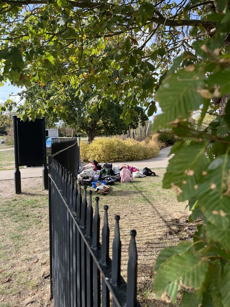
1. Photographing
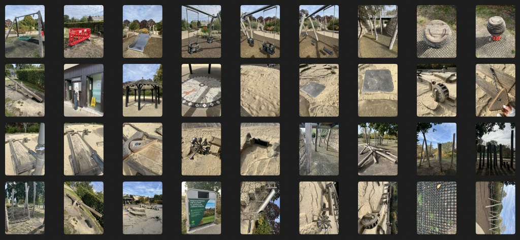
I began by photographing different elements of the playground without deciding in advance exactly what I was looking for. Afterwards, I grouped the photographs into categories, such as:
from distance
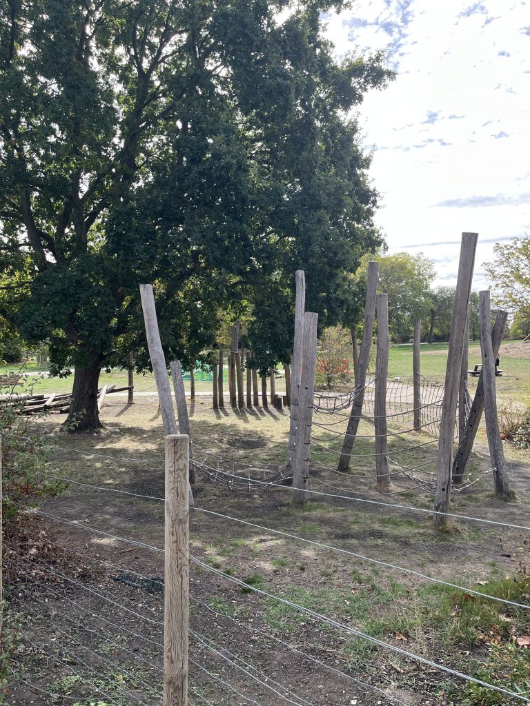
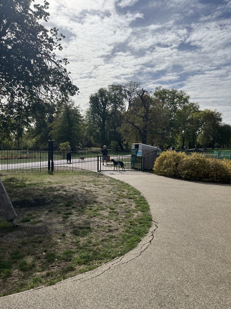
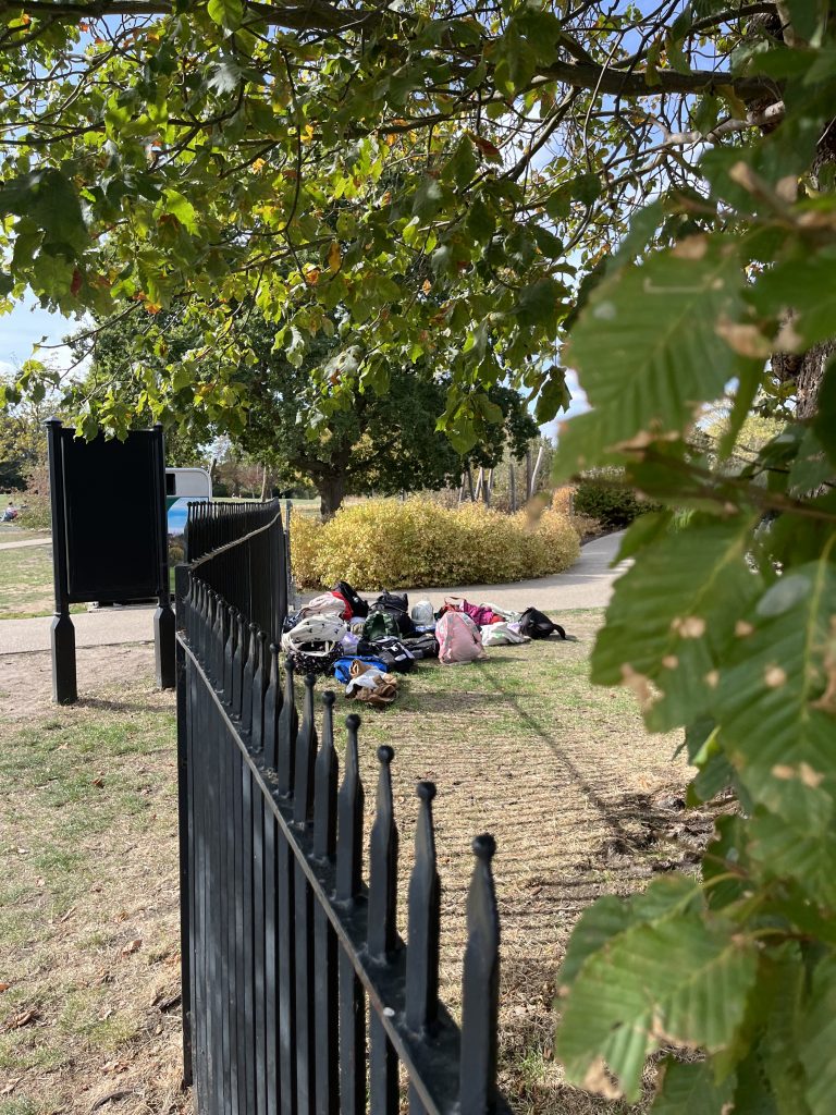
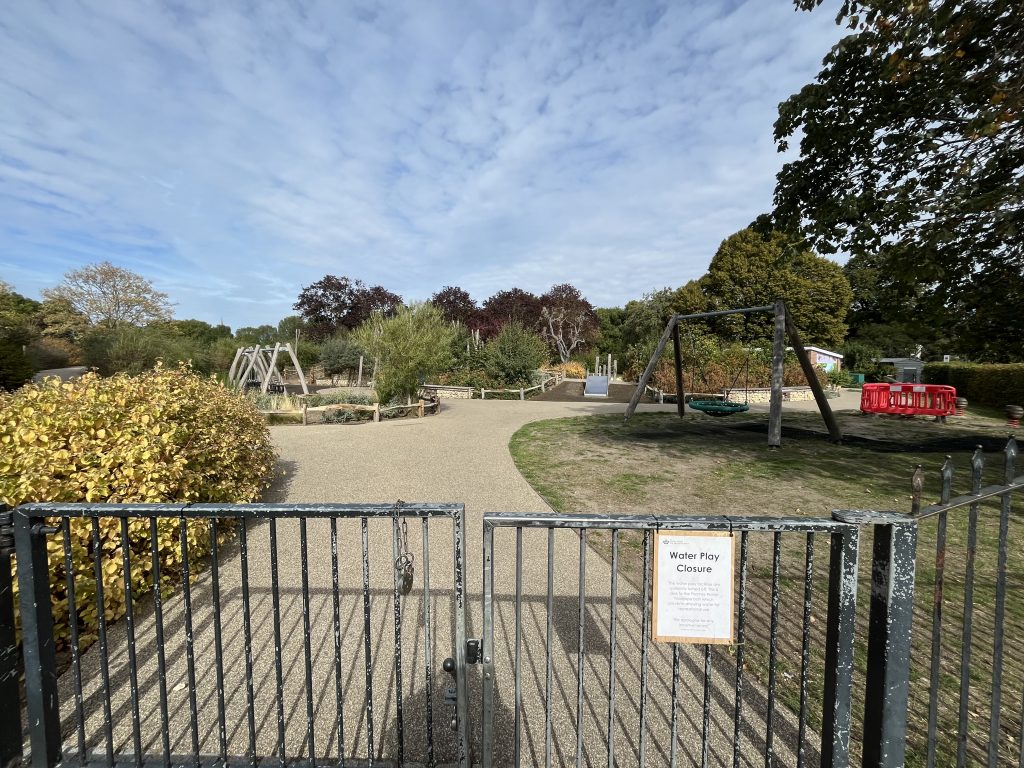
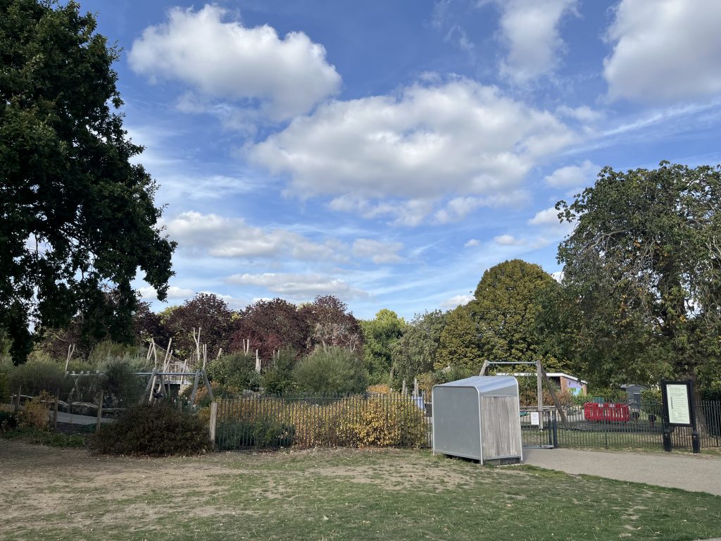
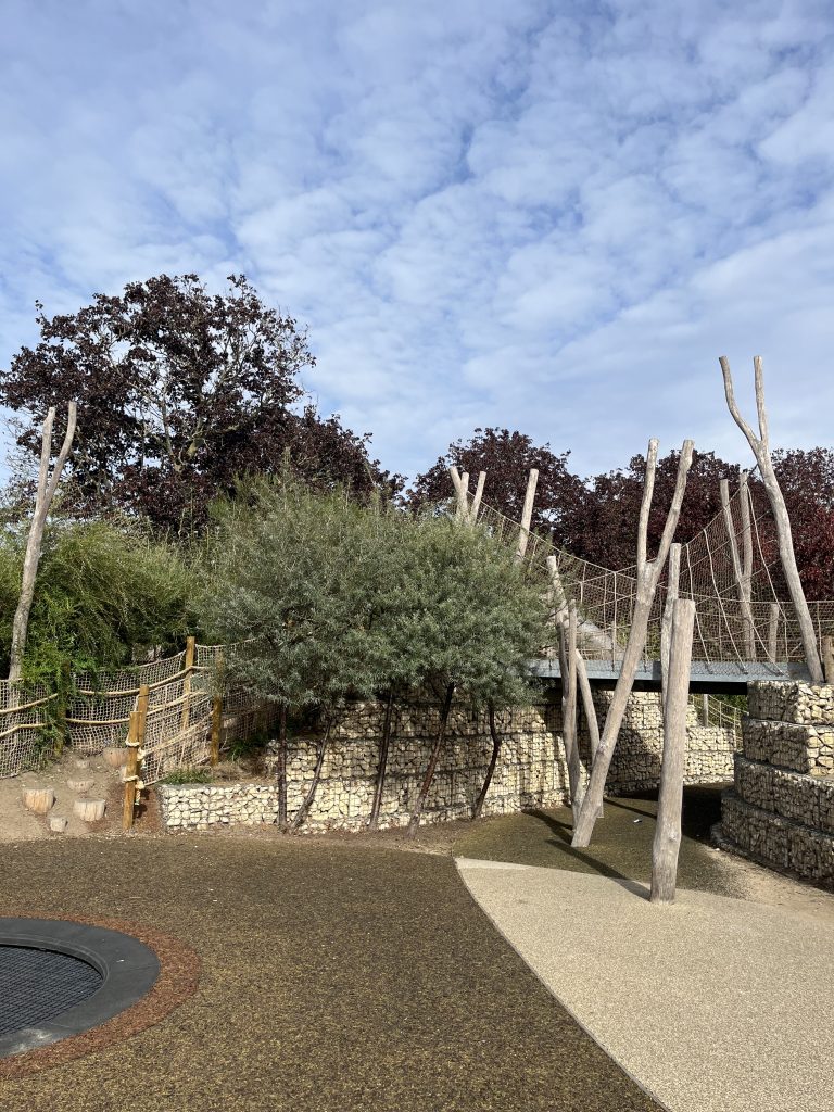
fences and boundaries
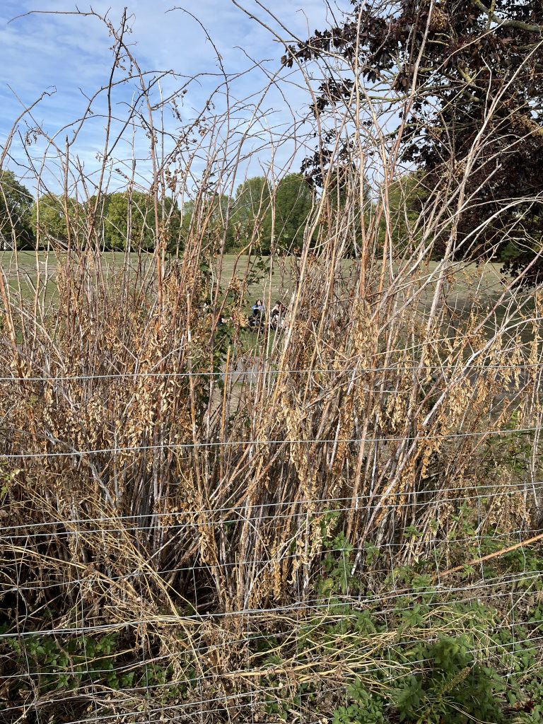
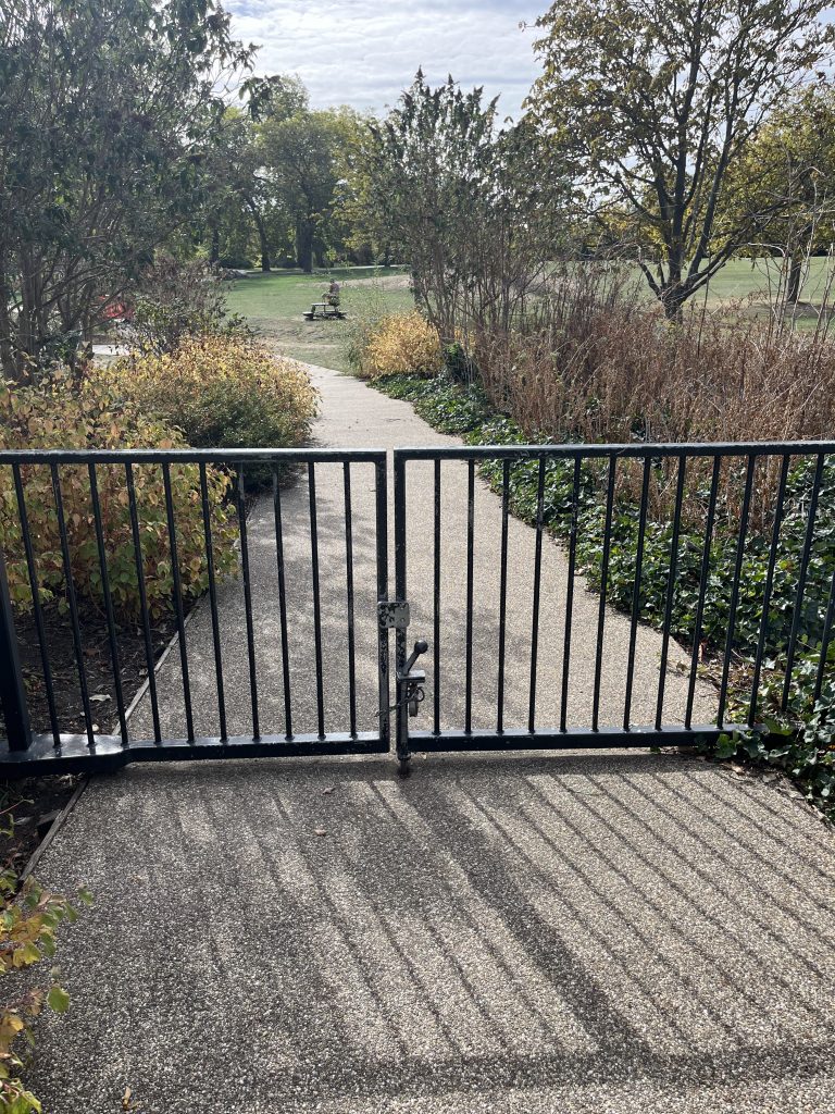
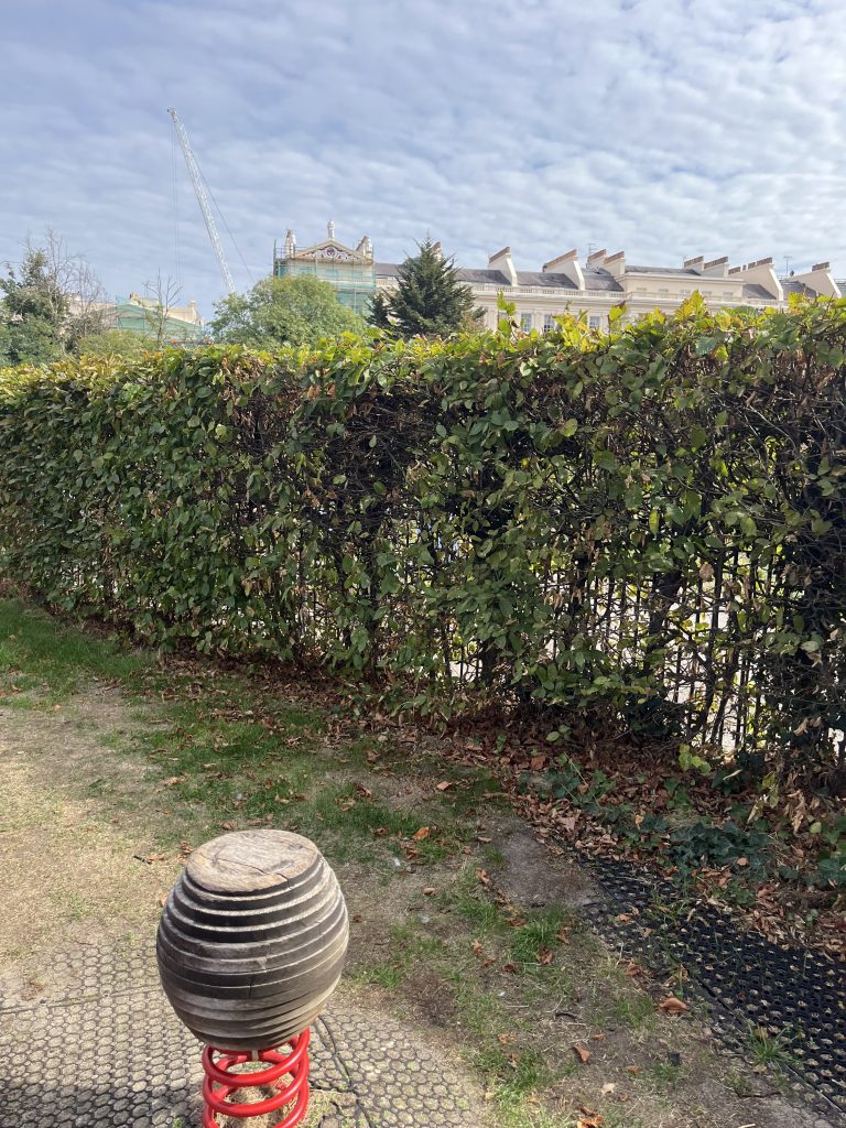
stand inside to look outside
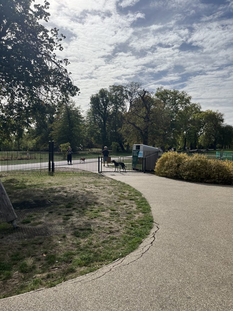
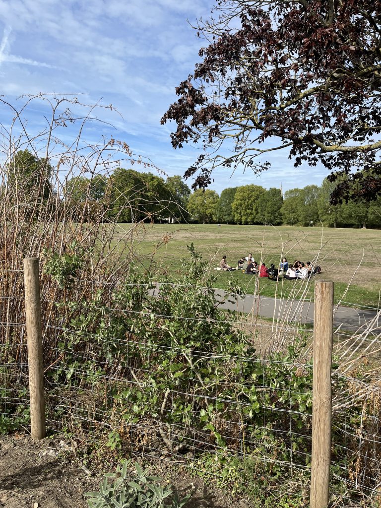
The playground is open to the public visually, but restricted physically.
equipment
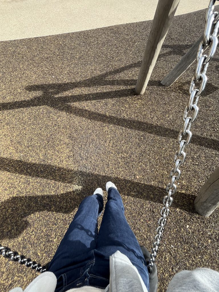
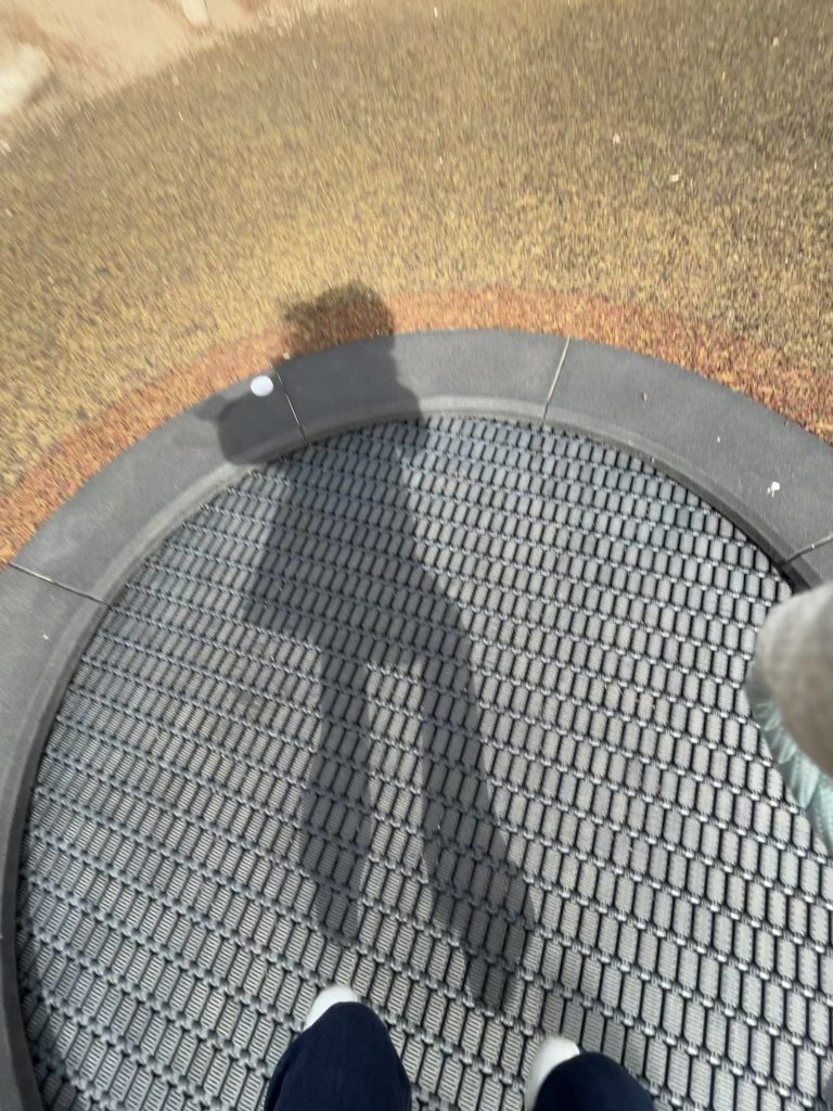
I secretly played a little
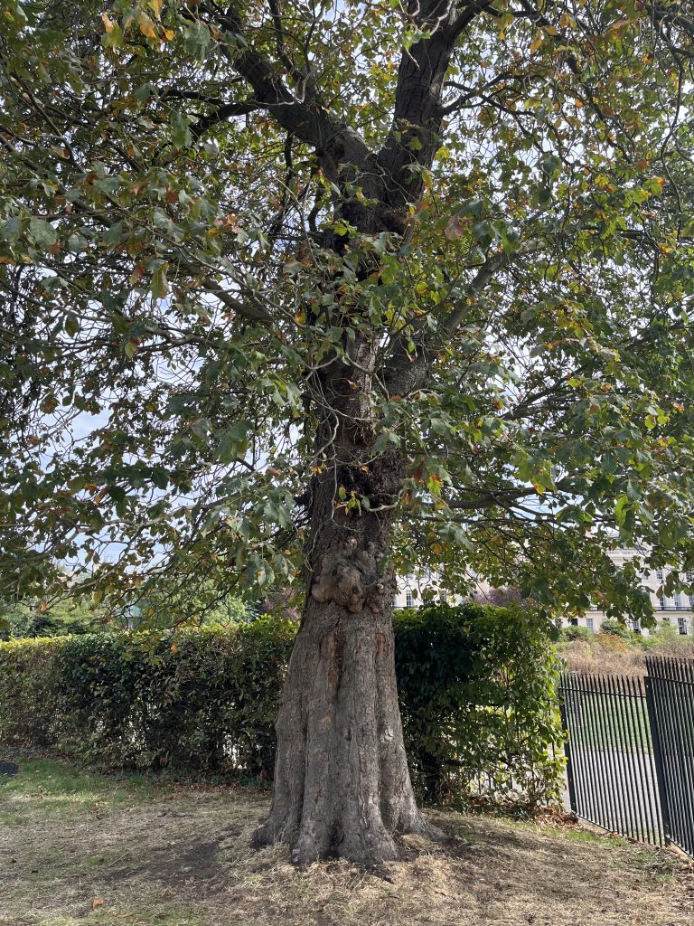
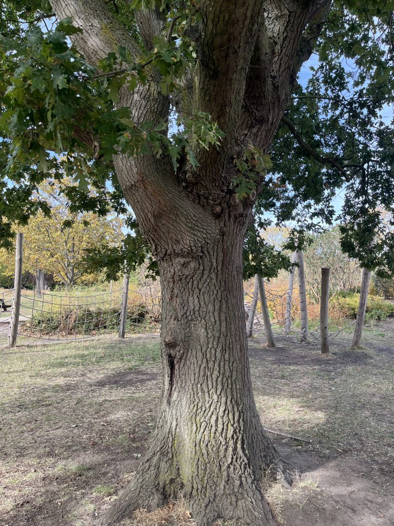
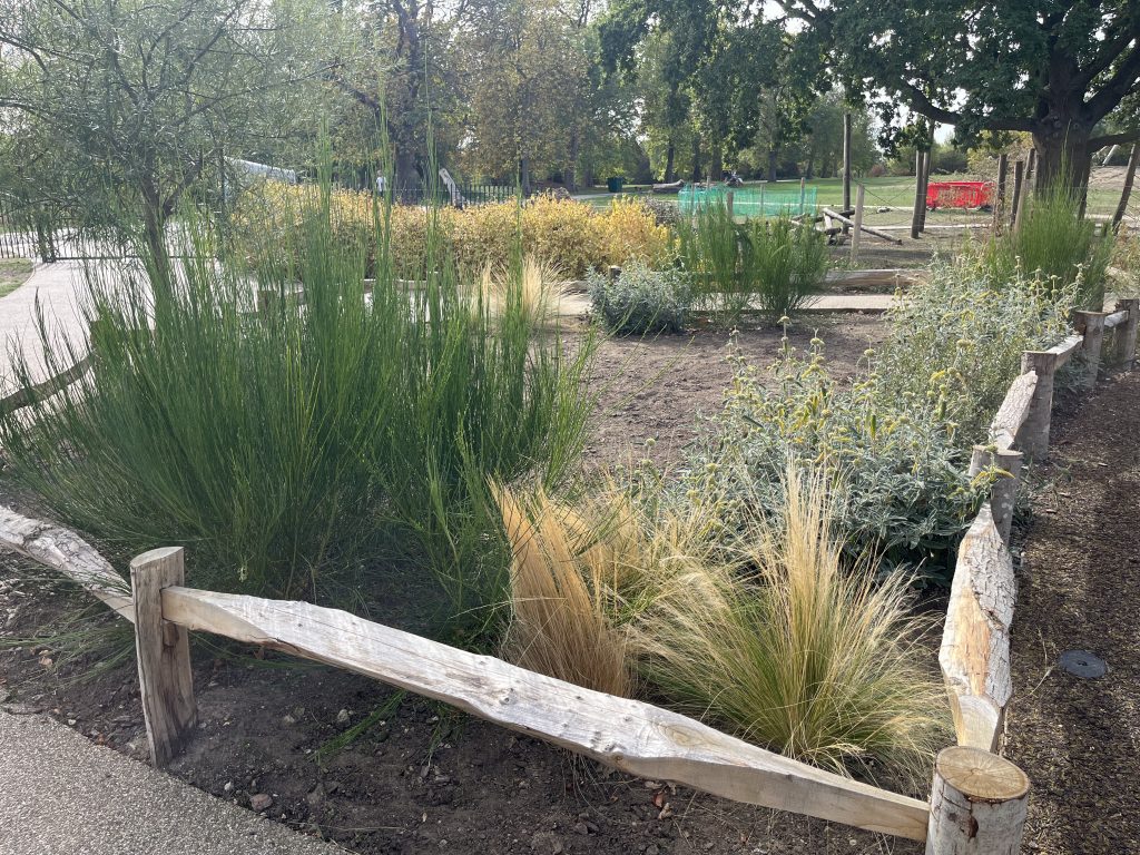
plants
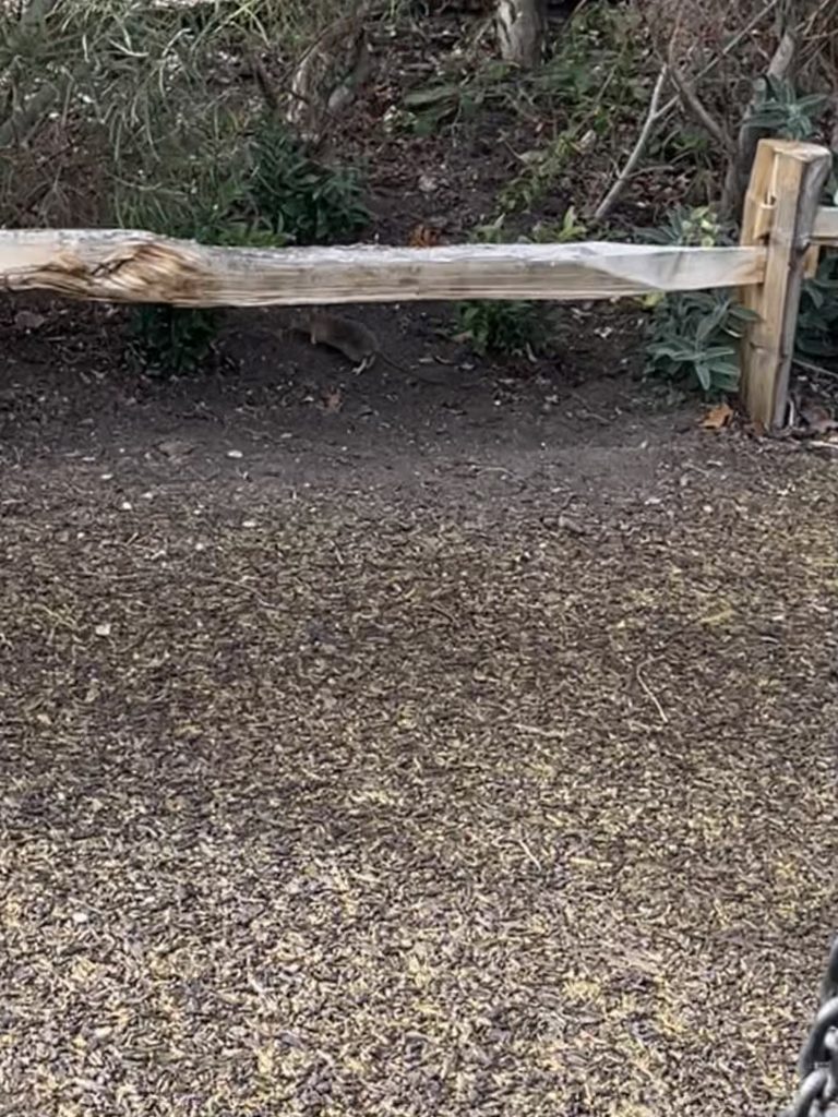
animal
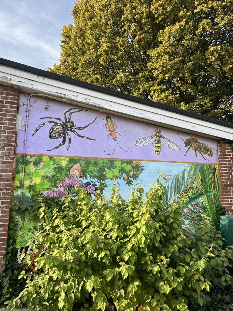
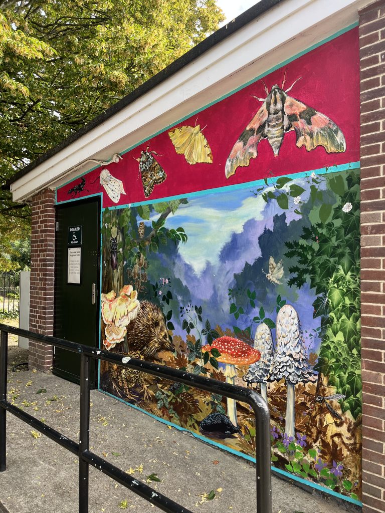
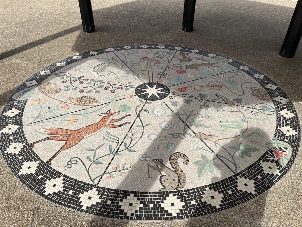
graphic decoration
words
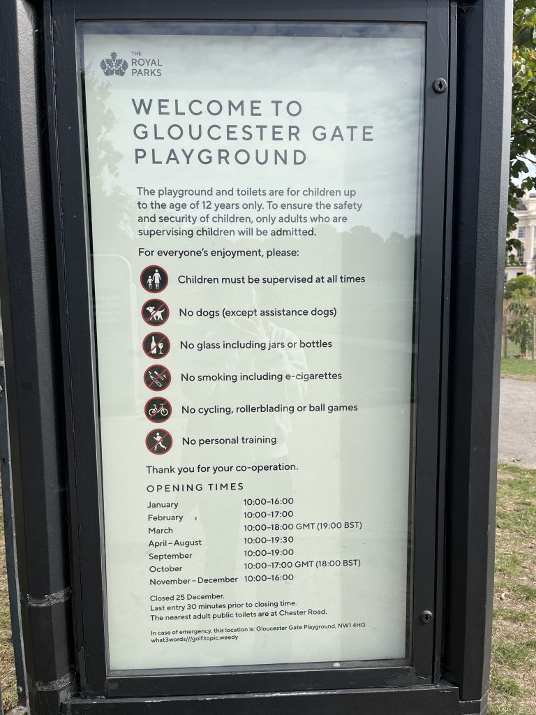
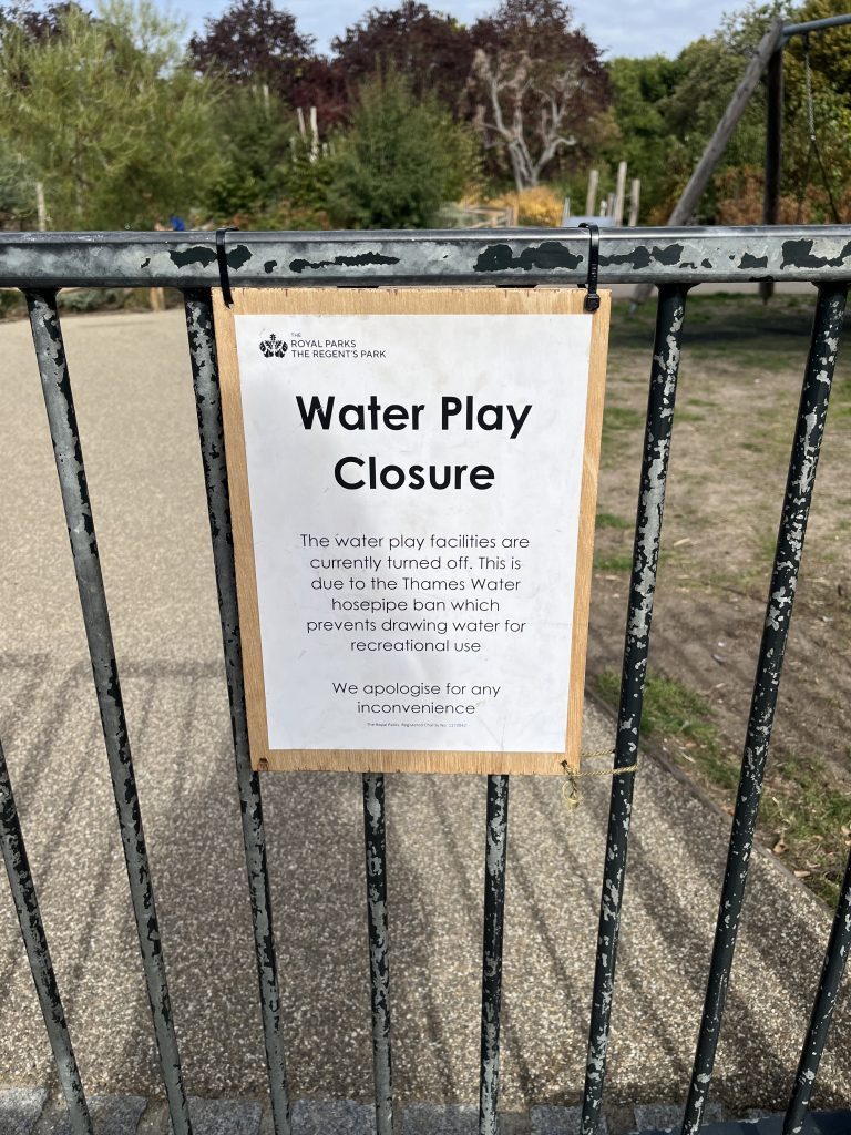
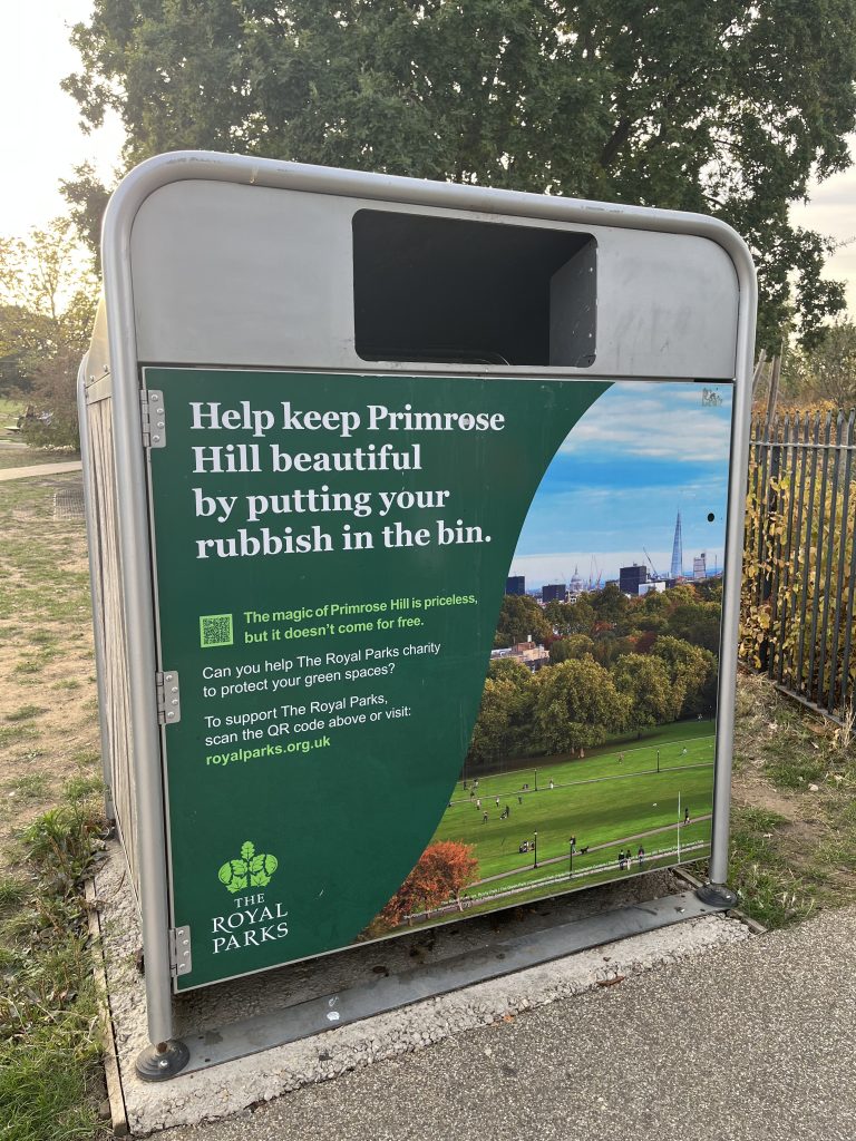
I noticed that there is surprisingly little visual decoration in the children’s playground itself.
I always feel like children’s playground = colorful + cartoon + lots of graphics.
There are only two areas with illustrations or designed graphics, while most of the space is quite visually restrained.
path
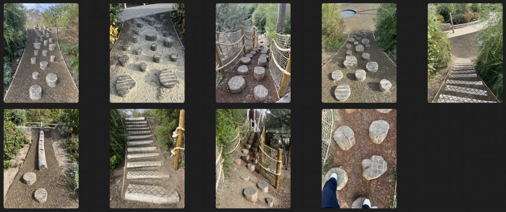
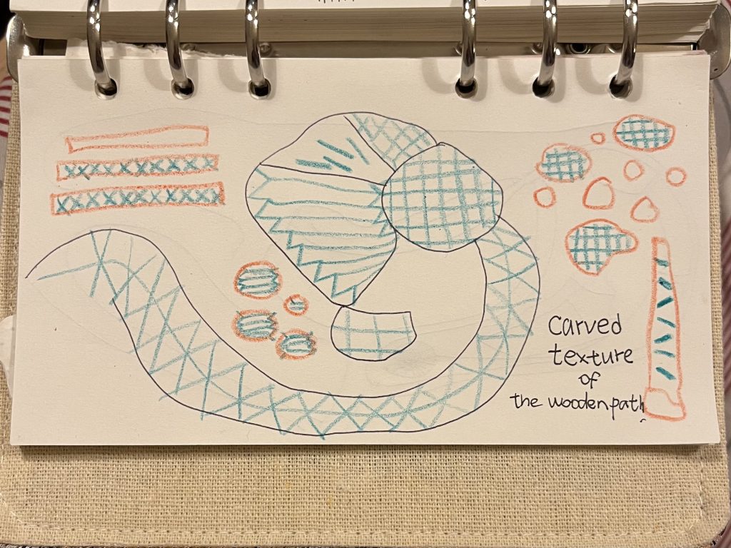
The wooden paths are also interesting. The surfaces have different carved textures designed to create friction and prevent children from slipping. I became interested in the point where function becomes visual.
objects
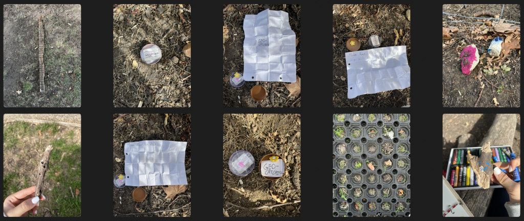
I even found a geocache! It was my first‑ever one.
Photography helped me examine the physical details of the site, while categorisation made it easier to identify similarities, differences and unexpected patterns. Especially when I organise the photographs, I feel like I truely get to know this playground, it helped me move beyond seeing the playground as one complete environment. I began to notice its different systems and visual characteristics.
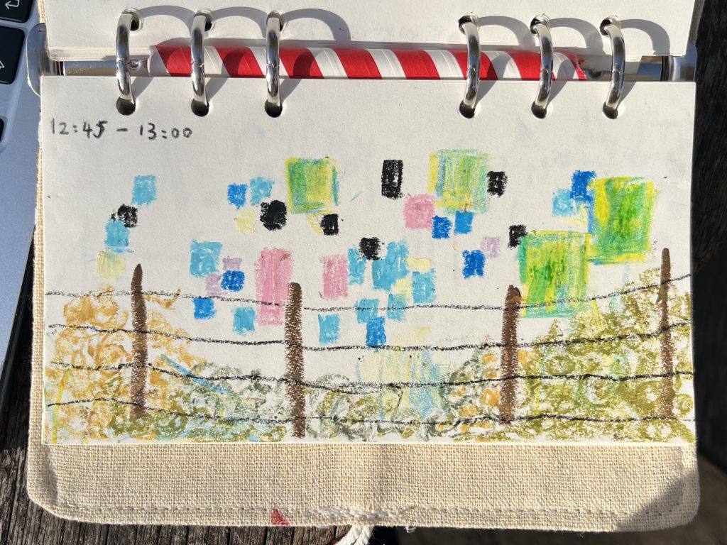
2. Recording
I also tested a method of recording movement over a fixed period of time.
I observed the playground for 15 minutes from a fixed position and recorded people appearing within my field of vision. Instead of drawing each person in detail, I used small coloured squares or circles based on the colours of their clothing. I repeated this process with two groups of children of different ages.
younger children, around five years old
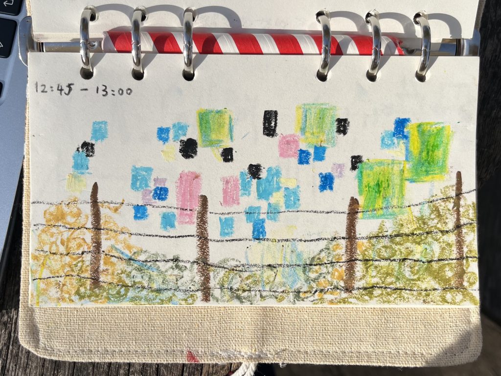
older children, around ten to twelve
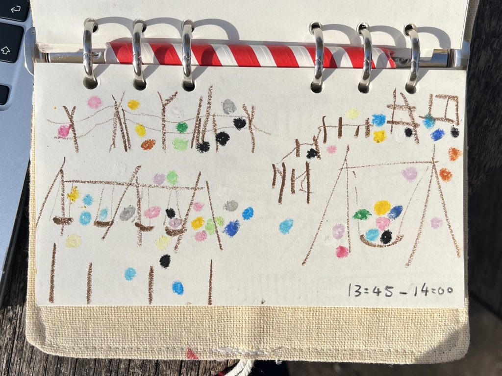
Compressing time into a spatial image.
Each square or circle represents a moment when a person appeared in my field of vision, so the final image compresses fifteen minutes of observation into one visual record. This allowed me to see patterns of movement and concentration that would be difficult to notice through a single photograph.
It also made me think about the difference between observing a place and measuring activity within a place.
3. Collecting
I shifted my attention to the objects left behind by its users.
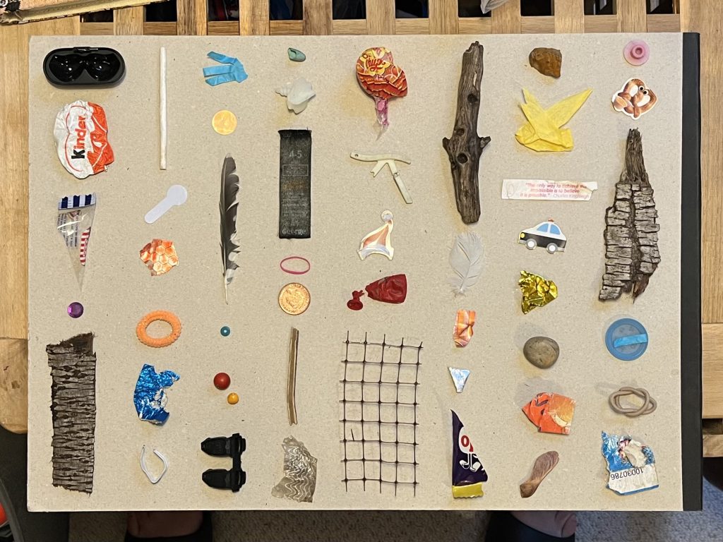
After children left, I stepped in again and collected small objects found in the playground, including wrappers, hair ties, stickers, coins, feathers, sticks and pieces of paper.
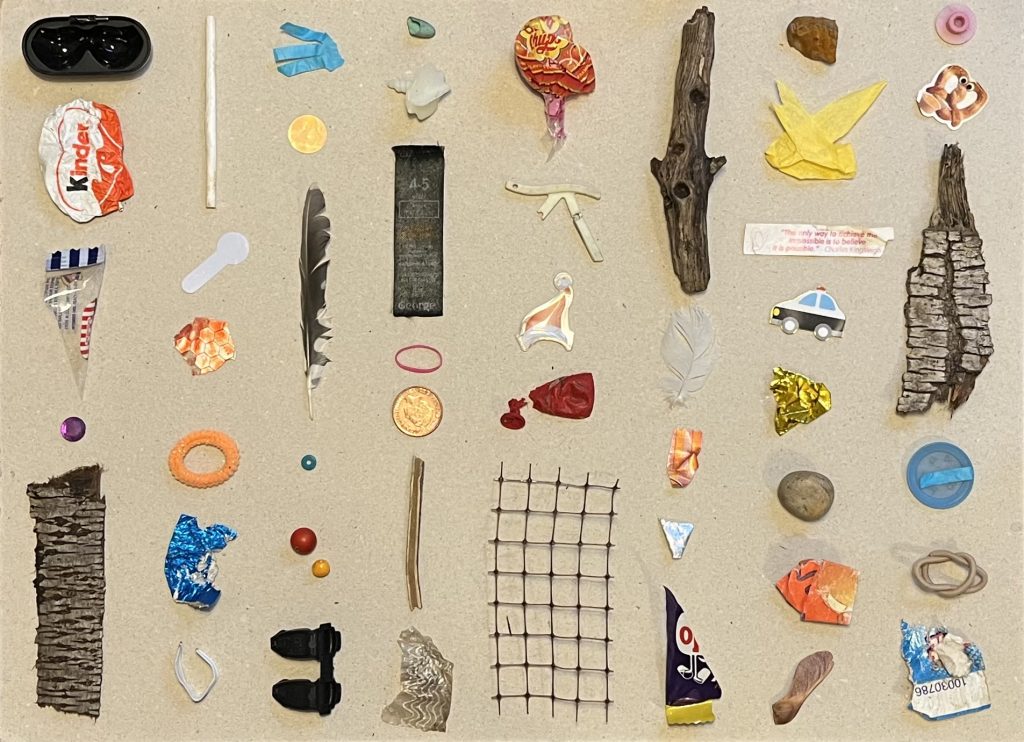
The objects themselves are quite ordinary, but together they tell me that people have been here, and they give me small clues about what happens in the space.
However, I could not know exactly who had left each object or what had happened before it was found. Rather than treating the objects as definitive evidence of particular events, I approached them as fragments that could invite further observation and interpretation.
The space is controlled, but the traces left by its users are uncontrolled.
4. Mapping
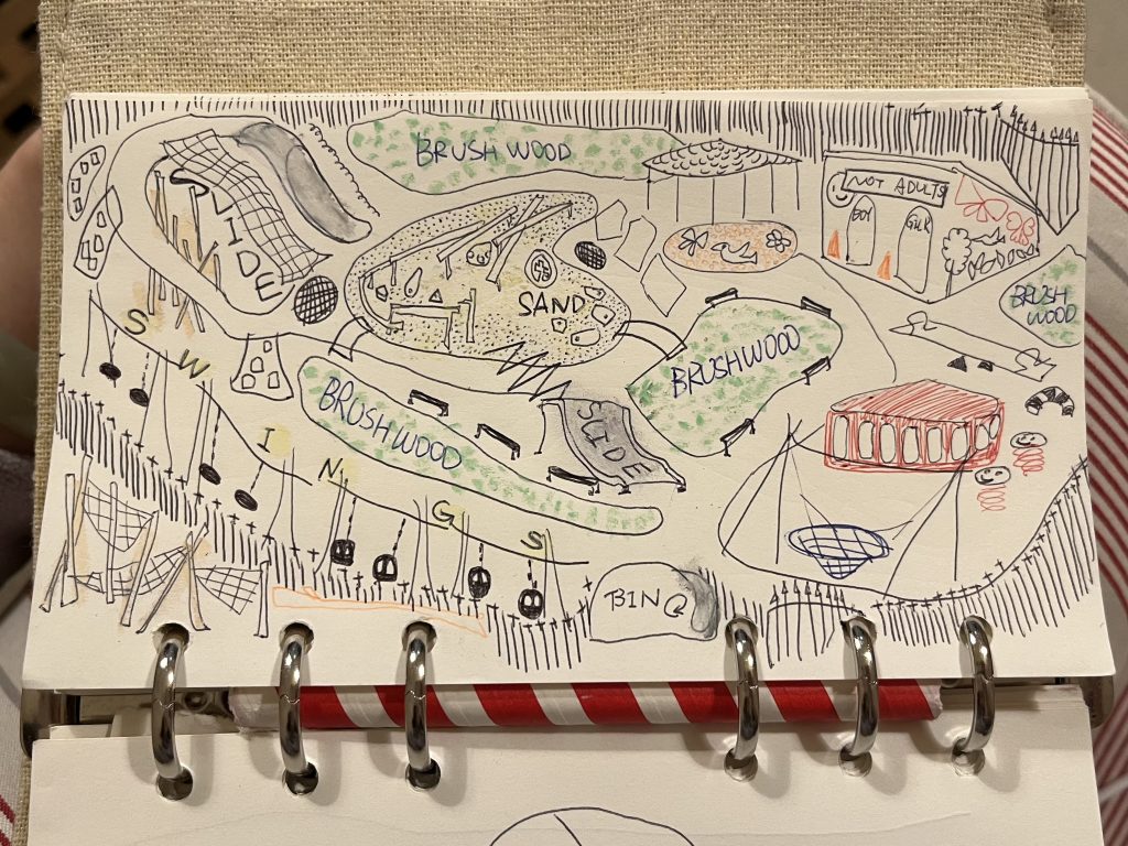
I wanted to see how the playground changes when I represent it in different ways.
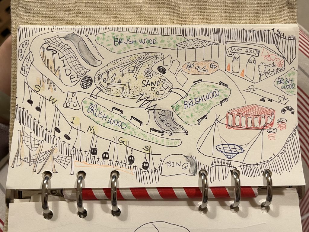
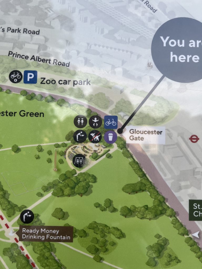
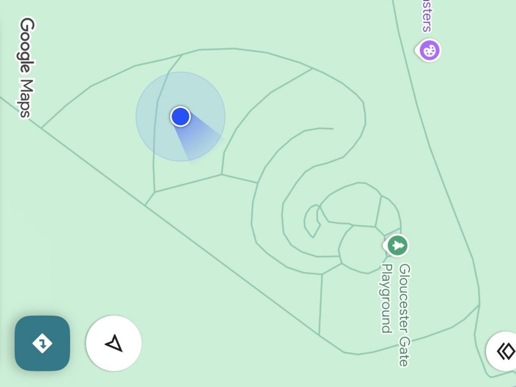
I drew a map while moving through the playground and then produced another map from memory after leaving the site. I compared these drawings with the playground’s own map, the standard view of Google Maps and its satellite view.
- mapping through direct experience
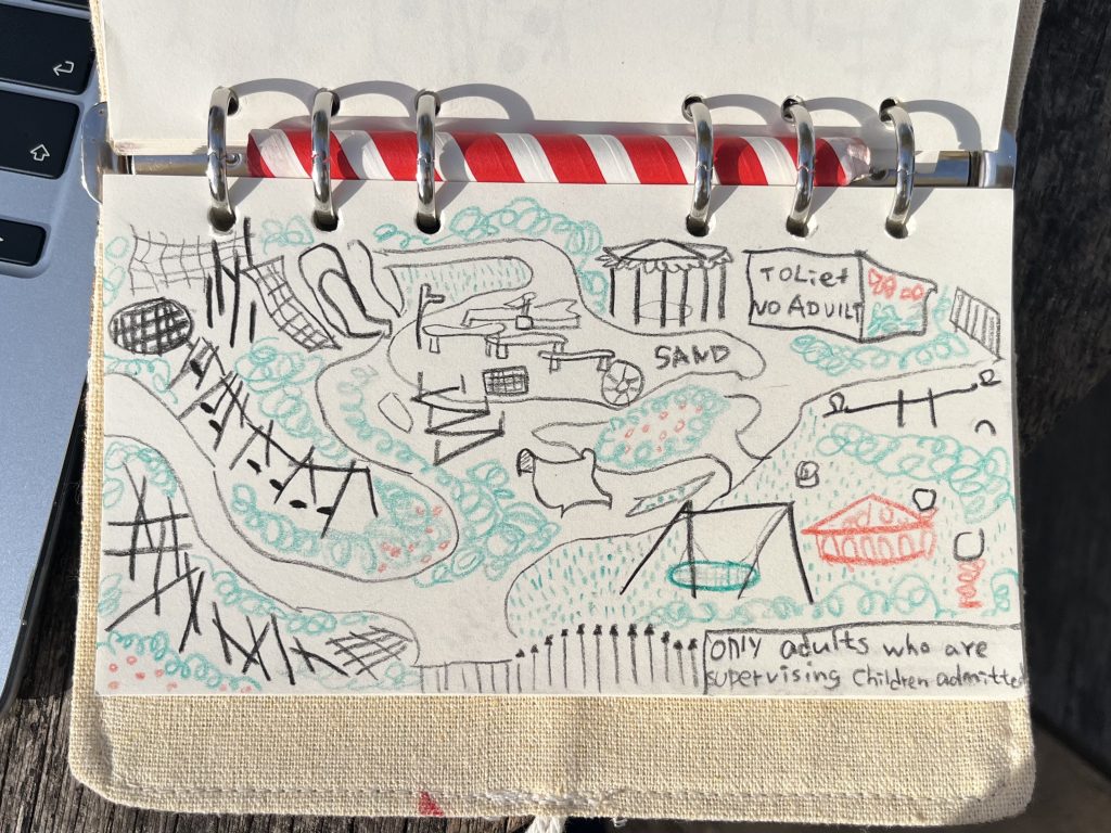
2. mapping through memory
3. institutional representation in the playground
4. Google Maps default —digital representation
5. Google satellite —aerial / physical representation
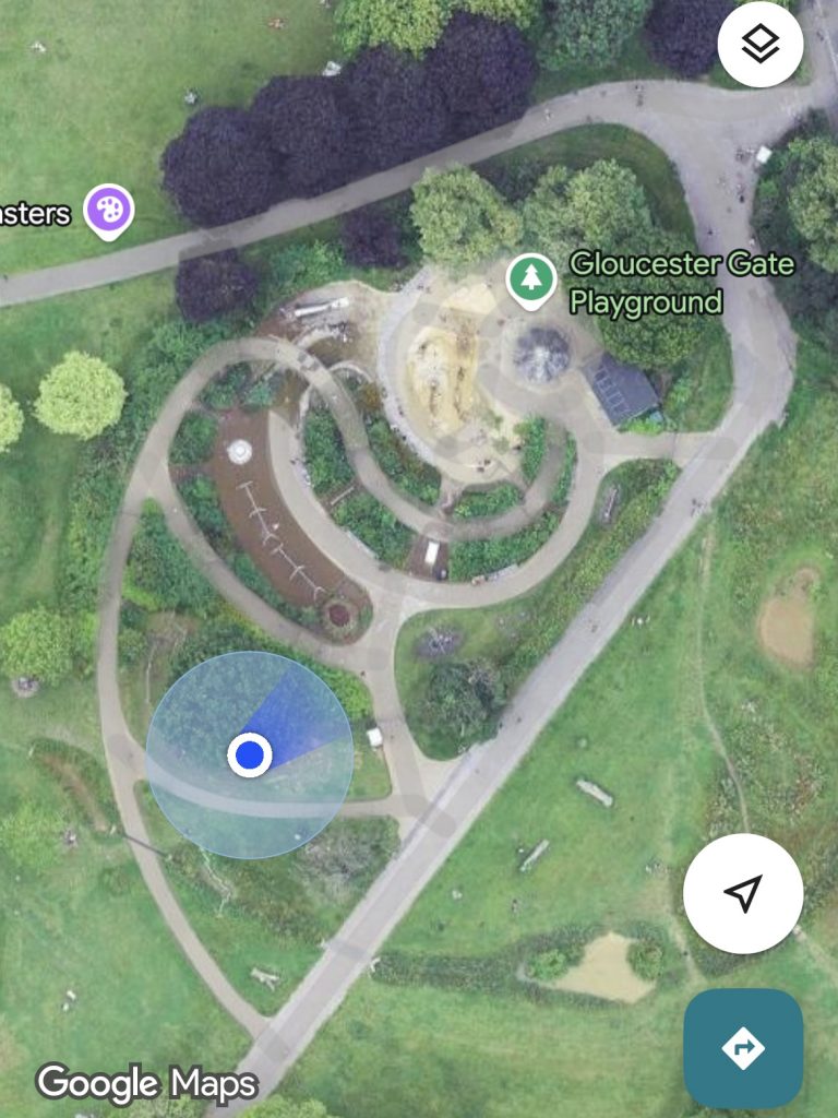
Putting these maps together showed me that a map is not simply a neutral representation of a place.
Each map emphasises different information. A map doesn’t just show a place. It also shows what the mapper considers important.
Feedback and Reflection
Through these experiments, I learned that the method itself changes what becomes visible. Each method creates a different way of understanding it.
A children’s playground is a highly controlled space, but the activities and traces within it are less controllable.
After feedback and discussion with my tutors and classmates, I decided to focus on collecting objects. Rather than observing the children themselves, I observe the objects they leave behind. This allows me to explore how these objects can reveal traces of activity without disturbing the children or invading their privacy.
Collecting — Stage 1
Part 1 — Classification
After collecting objects left behind in the playground, I experimented with different ways of classifying them. I grouped them by activity, possible origin, material, and their relationship with the body. I also tried a more instinctive way of grouping objects based on visual associations.
I wanted to see how the same objects could be understood in different ways through classification.
Classification revealed relationships between objects, but those relationships had no location — so I returned to the site and mapped the classifications back into space.
Part 2 — Mapping
I mapped the objects according to the locations where I found them.
The first map: I placed the cut-out images directly onto the map. Where objects were clustered together, I layered them. I noticed that the objects were not evenly distributed. Some areas had more objects than others.
In the first map, objects were subordinate to the space — so I enlarged the composition until the objects filled the outline, letting them become the space itself.
The second map: I enlarged the entire composition until the objects filled the outline of the playground, while keeping their relative positions. As a result, the objects became the main visual content, and the original structure of the playground became less visible.
I found that changing the scale of the objects changed how the playground was visually represented.
Mapping – “where,” classification -“in what relation” — so I combined them to see how different classifications change the same map.
Part 3 — Combining Classification and Mapping
After that, I combined my classification experiments with mapping.
I used text labels to show the bodily relationships of the objects, and emojis to represent different activities and possible origins. I placed these labels and symbols on the map according to the original locations of the objects.
I found that different classification systems highlighted different relationships between the objects and the playground. The objects stayed the same, but the map looked different depending on how I classified and represented them.
Feedback
and
Reflection
My tutors and classmates responded positively to the different mapping experiments and encouraged me to develop them further. They suggested experimenting with looser compositions, different scales, physical collage, and the negative spaces between objects.
I realised that each experiment should develop from the previous one, rather than simply creating different visual effects. I want to explore how changing the scale and arrangement of objects can change what becomes visible and what attracts our attention.
Collecting — Stage 2
Part 1 —
Loose Mapping
First, I removed the boundaries of the playground map and rearranged the objects by material, while keeping their approximate spatial relationships. I used matching material backgrounds, such as paper, fabric and plastic, to emphasise their physical qualities.
Loose Mapping allowed me to move beyond the playground boundary while keeping objects in their approximate positions.
I then dissolved their original spatial relationships, grouping them by activity and letting them overlap freely to see what would emerge.
Part 2 —
Object Maps
I categorised the objects as Eating,Playing or Wearing; each group was arranged to overlap naturally.
I noticed that the outlines when they were grouped together were very interesting. By extracting the outlines of these groups and comparing them with the playground outline, I explored how the objects might form their own spatial territories.
First, I removed the boundaries of the original map.
Then, I loosened the objects’ fixed spatial relationships.
So next, I try to strip away the grouping itself, shifting my focus from collective forms to individual objects and even fragments.
Part 3 —
Extreme Scale
I enlarged small objects, such as cigarette packaging, beyond their original scale. This made some details and textures more visible, while other objects became difficult to recognise.
When I enlarged the objects to a very large scale, the tiny details became heavily blurred in the photographs.
I then tried using AI to restore the images to high definition, and this led me to an unexpected side observation.
Part 4 —
AI Restoration
I used AI image enhancement to explore what happens when blurred images are restored. However, some materials changed and signs of use disappeared, making the restored objects look different from the originals.
Feedback
and
Reflection
My tutors and classmates responded positively to the range of experiments and the systematic way I developed them. They were particularly interested in the AI restoration experiment and the outlines created by different groups of objects. The feedback encouraged me to explore how these experiments could become something more than images on a page.
I realised that changing the scale or appearance of an object can make it more noticeable, but this alone does not explain what the experiment communicates.
My tutors encouraged me to select one or two of the strongest experiments, explain why I found them interesting, and develop them further in relation to the original site. For example, I could use the objects themselves to construct a physical map, or explore how different categories could form layers within one map.
Written Response
Looking at What Is Left Behind
I walk past Gloucester Gate Playground almost every day. But before this project, I had never stepped inside. A sign at the entrance says it is only for children under 12 and the adults accompanying them.
For this investigation, I entered the playground and spent time there. I chose not to observe the children directly. Instead, I collected the objects they left behind — wrappers, hair ties, stickers, coins. I wanted to understand the activities through the traces they left, without disturbing the children or invading their privacy.
Agnès Varda’s The Gleaners and I (2000) connects to my investigation through theme. Varda follows people who collect what others leave behind, and she also collected many things, such as heart-shaped potatoes, abandoned furniture, and objects she notices while travelling. This made me reconsider the objects I had been picking up. I began to investigate the larger world contained within these small objects.
At first, I grouped the objects into categories. To locate these relationships, I mapped the objects back onto the playground, but they remained secondary to the space. I then enlarged the composition until the objects filled the playground’s outline, allowing them to become the space itself. Next, I gradually removed the map boundary, the original spatial relationships, and then the groupings themselves. Each removal revealed something different.
My experiments show that representation is never entirely neutral. The physical site had not changed, but the way it was seen did. Collecting brings overlooked objects into focus, while visual organisation creates new relationships but can also obscure existing ones.
This connects to Robert Venturi, Denise Scott Brown and Steven Izenour’s Learning from Las Vegas (1972). The authors use different types of maps to analyse the same urban environment — such as Nolli maps, land-use maps, distribution maps. It shows how each approach makes certain aspects visible while leaving others out. This helped me understand my own experiments as a process of investigation rather than a search for a final image.
Together, these readings have led me to question whether a place can be understood through what it leaves behind, rather than only through what it was designed to contain. I begin to deeply consider both what I choose to investigate and how I represent it. When I make an object more visible, what am I making invisible at the same time?
References
Varda, A. (2000) The Gleaners and I. [Film]. Ciné-Tamaris.
Venturi, R., Scott Brown, D. and Izenour, S. (1972) Learning from Las Vegas. Cambridge, MA: MIT Press.